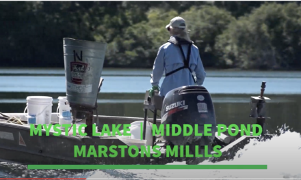
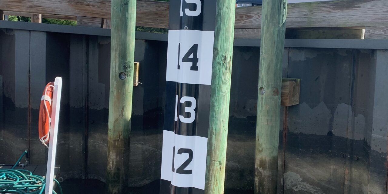
Barnstable County and the Provincetown Center for Coastal Studies obtained a grant from the Seaport Economic Council to map “storm tide pathways,” the pathways that storm surge takes to move through a community, along Cape Cod Bay. Part of this grant was to obtain tide staffs to place in four locations along the Bay. When installed, these tide staffs match the tide charts so that viewers can compare actual tidal water levels to tide charts and predicted water levels. They will also be informative during storm surge situations to see how high the water is in relation to the normal tides. This data can be used with the stormtides.org website to see what areas are likely to flood at incremental storm surge levels.