#OrangeConeSeason #RoadClosures
We get it, traffic is frustrating. 🚦🚧
The Town recognizes that continually changing traffic patterns and evolving construction schedules make it difficult to get into a routine.
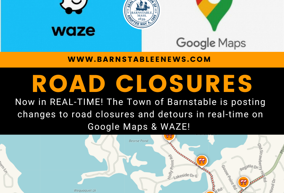
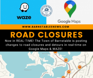
That’s why, as a Waze for Cities Partner, we now share real-time road closures and re-openings directly within the Waze platform. Before heading out the door, review current road closures and detours via your Waze App or directly on the Waze Live Map located at: https://www.waze.com/live-map
What you’ll find:
🚧 Official road closures surrounding each sewer installation construction site, in addition to Vineyard Wind construction operations
🚧 Real-time updates when roadways re-open earlier than usual (think, pre-rush hour!), dependent on contractor schedule
What you won’t find:
🚧 Less invasive roadway impacts such as single-lane alternating traffic patterns or single-lane closures
Remember, all closed roadways remain accessible to local resident traffic.
🏡 Live within a closure?
Don’t hesitate to speak with a flagger to ensure safe and timely access your neighborhood.
We are committed to making your commute as painless as possible.
🙋♀️ Have a question or suggestion?
Please contact Kelly Collopy, Communications Manager, at the Department of Public Works at 508-790-6400 or Kelly.Collopy@town.barnstable.ma.us


